Eureka West Recreation Area

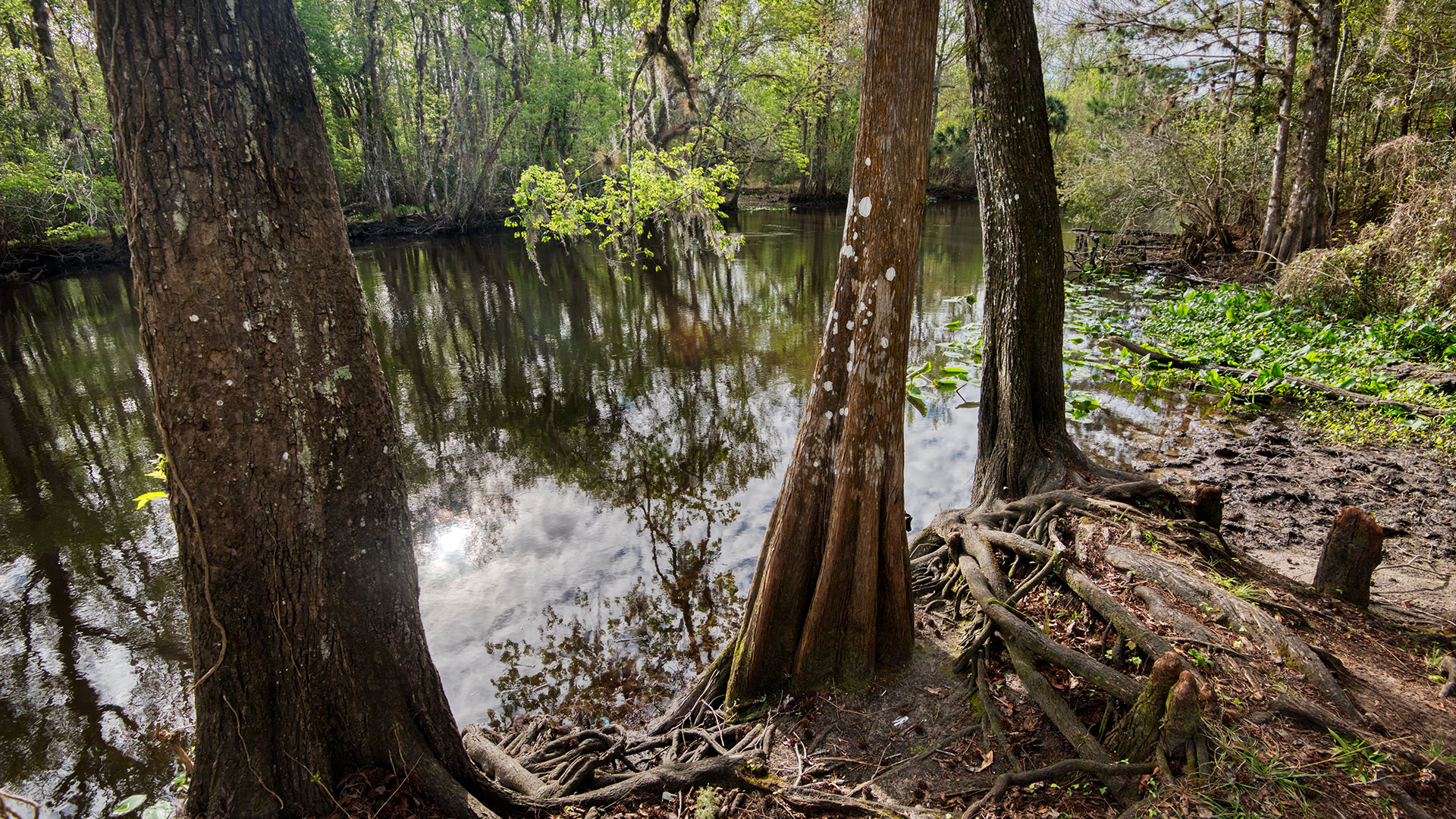
Photo by Will Dickey
Eureka West is at the divide between the natural section of the Ocklawaha upstream (south) and the impounded portion of the Ocklawaha River impacted by the Rodman Reservoir (north). It is an optimal place to start a paddling or boating excursion with a ramp that is more reliable than Orange Springs or Kenwood, where invasive aquatic weed blockages often occur.
Visitors can arrange for a guided tour on a pontoon boat – upstream or down (A Cruising Down the River or North Star Charters). You can launch your own boat or arrange for a canoe, kayak, cabin or campsite rental at nearby Ocklawaha Canoe Outpost.
If you are looking for a nice little bank fishing site, there is a small fishing pier for anglers without access to a boat or just sit back on your folding chair and enjoy the beauty of the Ocklawaha River.
Location
15395 NE 154th St., Ft. McCoy, FL, 32134
This site is approximately 4 miles east of Fort McCoy on the north side of CR316. Phone service is very spotty in this area.
Hours: 8 am until sundown
Schedule: 365 days a year
Amenities: Single-lane boat ramp, fishing docks, porta potties, picnic table
Cost: No fee
Closest Food & Provisions: The nearby Golden Skillet. Restaurant in Ft. McCoy (Iveys Country Café) to the west and several restaurants in Salt Springs to the east.
Conservation Significance
- Northern most point of the Ocklawaha Aquatic Preserve.
- End of the backwater effect of the Rodman Reservoir where visitors can begin to see the impacts of the Rodman Dam.
- From the Ocklawaha north, the varieties of trees diminish. From here to the dam you primarily see Cypress, Tupelo, Ash and stunted Cabbage Palms with minimal fronds adorning their heads. In the natural river section to the right, you will see a more diverse tree canopy including elms, red maples, native hollies, and other trees.
- Only riverside fishing dock until the Rodman Reservoir Recreation Area.
Historic Significance
- Eureka was second largest of the steamboat stops for Colonel Hubbard Hart.
- Remnant pilings of the Cross Florida Barge Canal can be seen to the right, as well as the Eureka locks.
- Crusher Crawler, the monster machine that cleared thousands of acres of trees for the barge canal, used a nearby path.
River sites from Eureka West to Payne’s Landing
- Eureka Spillway and Dam
- Cypress Bayou
- Fiddia’s Landing Homestead
- Cannon Springs
- Tobacco Patch Springs
- Big Rack Road Springs
Springs are covered up except during drawdowns every 3-4 years.
Fiddia’s Landing is where Marjorie Kinnan Rawlings stayed with Fiddia’s family while researching South Moon Under. Fiddia’s is near 40 Foot Bluff, part of the Mt. Dora Ridge. Prior to the Rodman Dam, the water in front of Fiddia’s was clear.
Magnificent cypress trees: If the dam was breached, visitors could more visibly see the impressive cypress trees. Some call these the “sequoias of the south.” Ten people have been known to fit into one of them.
